
Suffern Bear Mountain Trail Run in Harriman State Park, NY.
Date: July 12th, 2015
Location: Suffern NY through Harriman State Park to Bear Mountain NY.
Adventure: 23 miles, 5,400 feet elevation gain
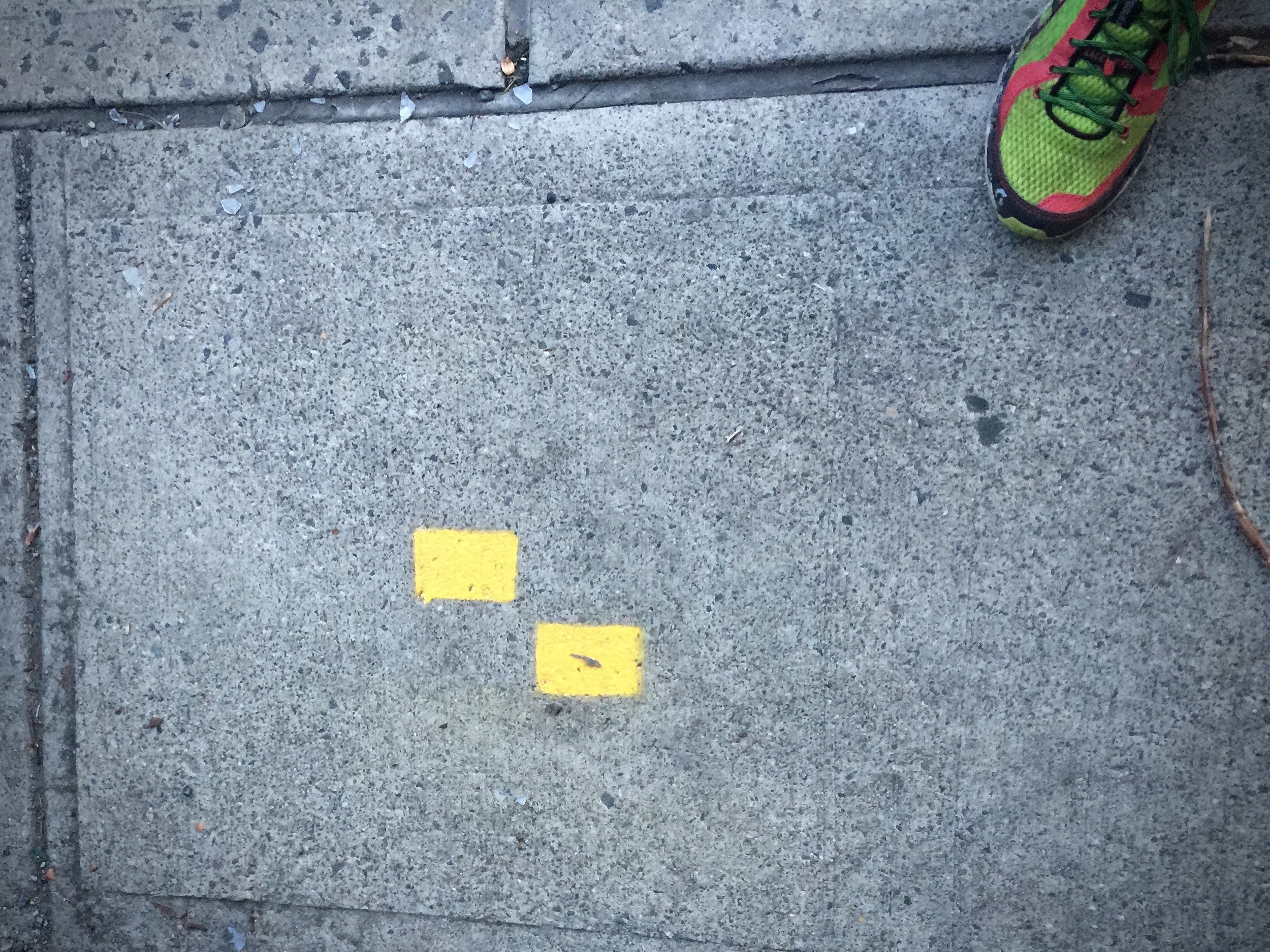
The Suffern Bear Mountain trail is roughly 23 miles long and can be picked up right from the Suffern Train Station in New York. From there you will follow the yellow brick road (yellow blazes) that mark the sidewalk that will take you right to the base of the trail which will then lead you straight up a few hundred feet to begin the day.
This traill dates back to 1924 when Major Welch; who was the General Manager of the Palisades Interstate Park (established in 1900 by governor Theodore Roosevelt and Foster M. Voorhees of NJ), first proposed the idea of this point to point trail. You will follow the yellow blazes all the way to Bear Mountain State Park, gaining close to 6,000 feet and if you add the climb to the top of Bear Mountain, you can easily accumulate over 7,000 feet of vert in 25+ miles. You can take either the Major Welch Trail or the Appalachian Trail to the top of Bear Mountain, both are found at the trail junction where the SBM trail ends.
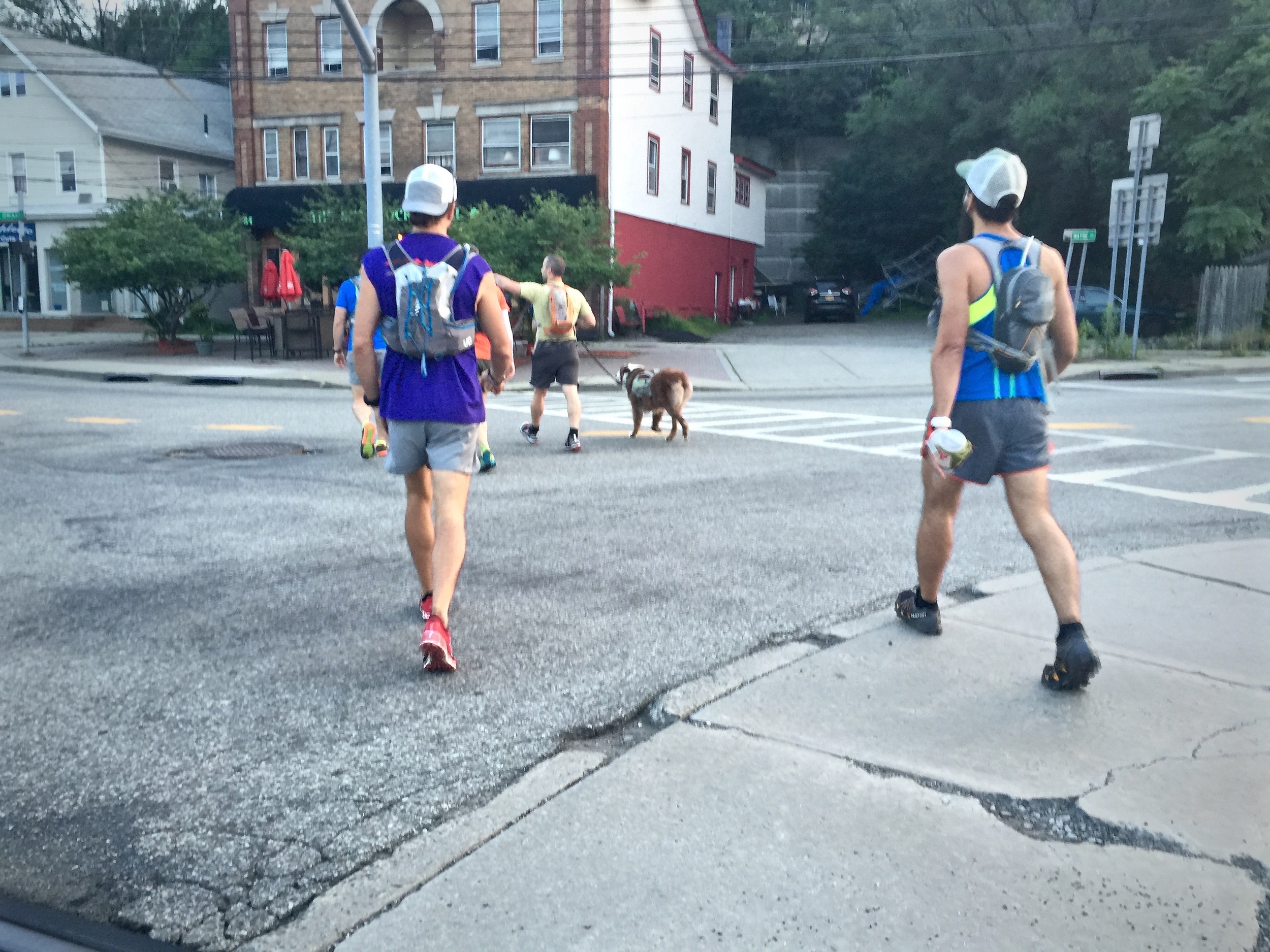
5:30 am on Sunday, July 12th, 2015 the MPF Adventure Club met at the Suffern Train Station in NY and we were out on the trail by 6am. Joe & I met a couple of members of the adventure club at the train station; Julian Vicente, Jay Lemos, Matthew Imberman and Joe Delano. Julian and I had shuttled a car to Bear Mountain earlier in the morning (4am) so we would have an easy return trip home.

Walking under the the Suffern Train Station underpass and making our way to the trail.

MPF Athlete Sammy waiting for the adventure to start! This is the beginning of the trail just off of route 59, slightly past the thruway underpass.


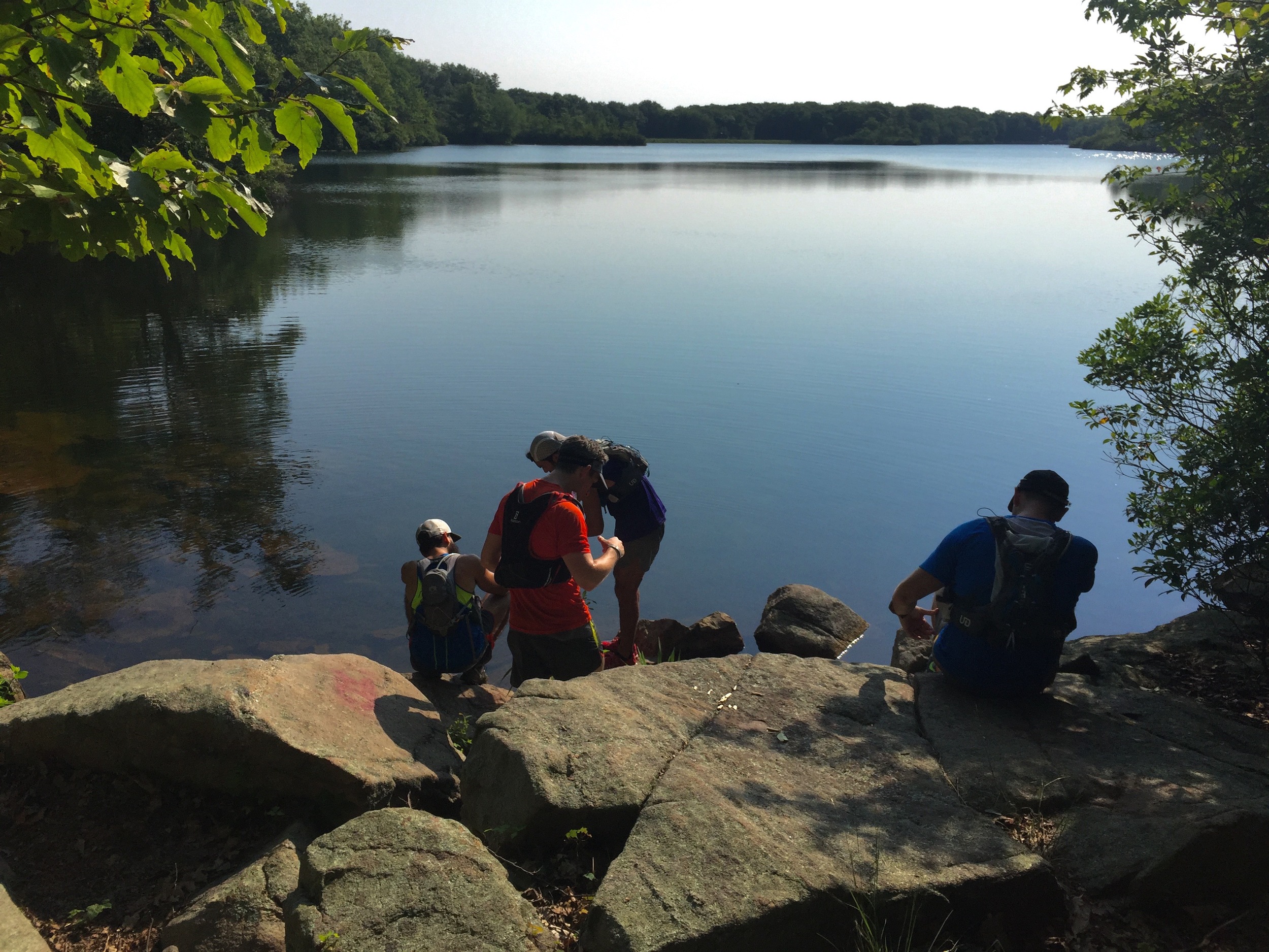
Jay Lemos and Julian Vicente filtering water at the Third Reservoir that is right on the trail.


This section of trail from Gate Hill Road to Cats Elbow was scouted by Harold B. Scutt. He died on April 2nd, 1930 in a plan crash in Attica, New York.
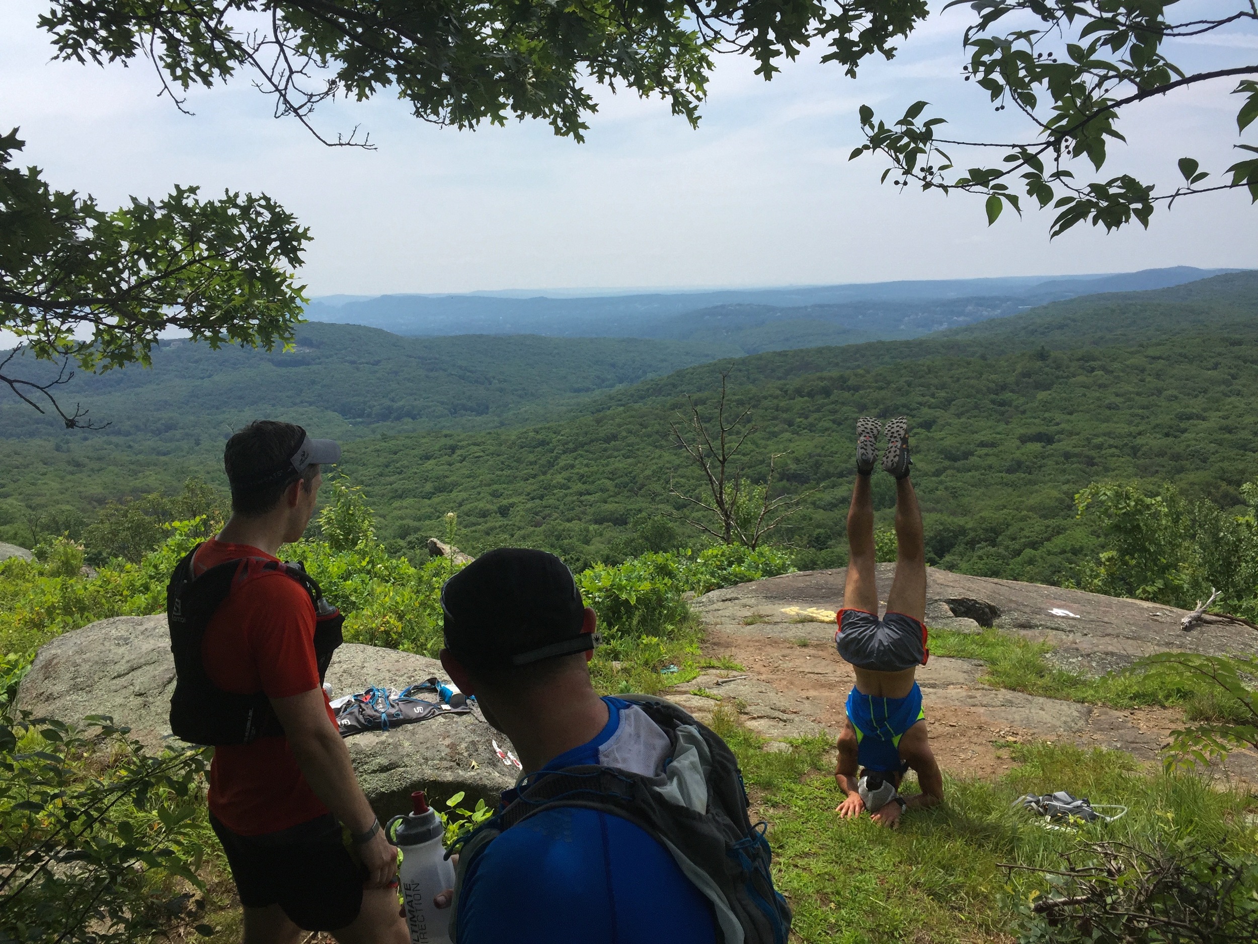
We took our time out on the trail, stopping for photos, headstands and stops to filter water as we went along. Julian and Joe Delano brought their Sawyer filters with them which worked flawlessly. These are relatively easy to use and since none of us have gotten sick yet, I guess they get the job done.
Below are the NY-NJ Trail Maps 118 & 119 of Harriman State Park 2015. I highlighted the trail in yellow, with a circle around the starting and end point. You can purchase these by clicking here or download them to your Avenza PDF Maps app by clicking here.
It was nice to finally spend some quality time with new adventure club members! Thank you for joining us and hope to see more of you soon!
Always adventure,
Elizabeth
Map 118 Southern HSP
Map 119 Northern HSP & Bear Mountain


